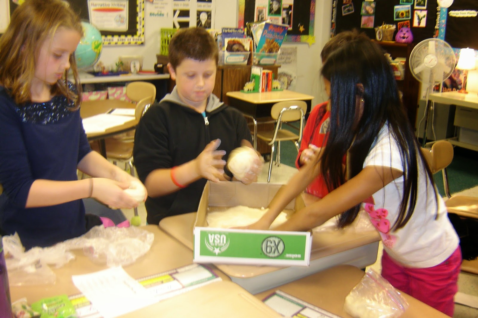
Today, we made our Dough Islands!!! We filled out a plan sheet and worked together to decided which five landforms we wanted to include . Once they are dry, we will paint elevation levels, create a map key, add a capital city, highest point, lowest point, add latitude and longitude lines and locate each other's islands based off of those lines on a world map. This is the way social studies should be!! What fun!


Looks like fun!
ReplyDelete